Table of Content
1. Introduction
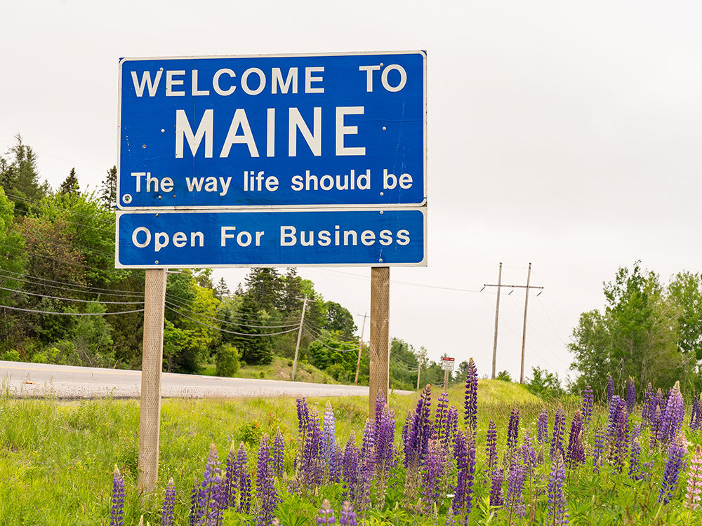
If you are interested in starting the year by going on a motorcycle trip through the United States, perhaps you would like to visit Maine or “the Pine Tree State.” Navigating on roads suited for motorcycles, you will have the opportunity to check out the forests, coastlines, rivers, and lakes that make up the landscape. Many routes rise, fall, or swerve around plenty of noteworthy places including the Coastal Langlands, the Eastern Upland, and the White Mountain Region.
This article is an informative piece on Maine’s motorcycle roads , destinations, and laws to help you begin to plan out the details of your trip.
2. Best Roads and Destinations in Maine
2.1 Acadia National Park Loop

Distance: 59 miles
Time: 1 hour 50 minutes
Start: Bar Harbor
End: Bar Harbor
Departing southward from Bar Harbor, you will travel along the coast close to Mt. Desert Narrows. You will have the chance to check out the Wild Gardens of Acadia, Sand Beach, and Thunder Hole. Turning sharply back north on Route 3, you will loop back close to Bar Harbor. However, you will turn westward via Route 233 which will take you beside Cadillac Mountain and Eagle Lake.
Continuing to head west along the top side of the loop, you will eventually transition onto Route 102. This route will turn straight south which will take you beside Seal Cove Auto Museum, Seal Cove Pond, and Bernard Mountain Trailhead. After curving around the bend at Tremont, you will turn back northward which will have you pass by Wendell Gilley Museum, Charlotte Rhoades Butterfly Park, and Echo Lake Beach.
Beginning your return trip, you will travel along another bend to the south which will take you through Acadia National Park. If you are willing to take a slight detour deeper into the wilderness, you will get the chance to admire Bubble Rock Overlook, Blue Hill Overlook, and Cadillac Mountain. The rest of the way should be a wide curve back towards Bar Harbor.
2.2 Upton to Madrid

Distance: 90 miles
Time: 1 hour 54 minutes
Start: Upton
End: Madrid
Starting close to the Maine-New Hampshire border, you will be within the vicinity of the Umbagog National Wildlife Refuge. Beginning to head southeast along Route 26, you will come across Mahoosuc Public Reserve Land which holds places such as Old Speck Mountain and Grafton Notch State Park.
As you travel along the bend that makes up U.S. Route 2, you will be able to hike up Grafton Loop Trailhead or Mystery Mountain Trailhead. Heading northward on Route 17, you will encounter the Height of Land, Long Pond, Shelton Noyes Overlook, Rangeley Lake State Park, and the South Bog Conservation Area.
Turning eastward towards Madrid, you will travel along the lower edges of Rangeley Lake. You will have the chance to hike up Cascade Stream Gorge Trail and Appalachian Trail - Piazza Rock Trailhead as you travel on Route 4. You will shortly arrive in Madrid.
2.3 Coburn Gore to North Anson

Distance: 67 miles
Time: 1 hour 24 minutes
Start: Coburn Gore
End: North Anson
Starting close to the United States-Canada border, you will begin to head southeast via Route 27. You will come across Arnold Pond, Crosby Pond, Chain of Ponds, Jim Pond, and the western edges of Flagstaff Lake before you arrive in Eustis.
Continuing to travel southeast, you will coast around the southern tip of Bigelow Preserve. As you keep on swerving along Route 27, you should be able to make out Carrabassett Valley, Crocker Mountain, Mt. Redington, and Sugarloaf Mountain.
For the last leg of the trip, you will transition onto Route 16 which will take you to the Stanley Museum in Kingsfield and Gilman Pond outside of New Portland. Keeping on track, you will eventually make it to North Anson.
2.4 Newfield to Gray

Distance: 50 miles
Time: 1 hour 14 minutes
Start: Newfield
End: Gray
Embarking northeast via Route 11, you will soon stumble upon Sokokis Lookout, Sokokis Lake, and Pickerel Pond. Further along on Route 11 as you traverse the light swerves, you will find yourself close to the western edge of Steep Falls Wildlife Management Area.
Continuing to travel northeast along Route 11, you will travel within the vicinity of Sebago Lake, Tiger Hill Community Forest, Trickey Pond, and Brandy Pond. You will then turn straight east which will take you in between Parker Pond, Coffee Pond, Dumpling Pond, and Crescent Lake.
Transitioning onto Route 85, you will then begin to travel southeast. You will pass by Panther Pond, Morgan Meadows Wildlife Management Area, and Crystal Lake. After you have cleared these natural areas, you will have arrived in Gray.
2.5 Aroostook Scenic Byway

Distance: 105 miles
Time: 2 hours 2 minutes
Start: Fort Kent
End: Sherman
Starting close to the United States-Canada border, you will embark southward via Route 11. While you are still close to Fort Kent, you can head up Lonesome Pine Trails or check out America’s First Mile - U.S. Route 1. Further down, you will come close to Eagle Lake, Saint Froid Lake, and Winterville Forest.
Around the halfway point of the scenic byway, you will be within the vicinity of Portage Lake, Nashville Plantation, Garfield Plantation, and Scopan Lake. As you draw closer to Sherman, you should be able to make out Baxter State Park and Mt. Katahdin in the distance on your right-hand side.


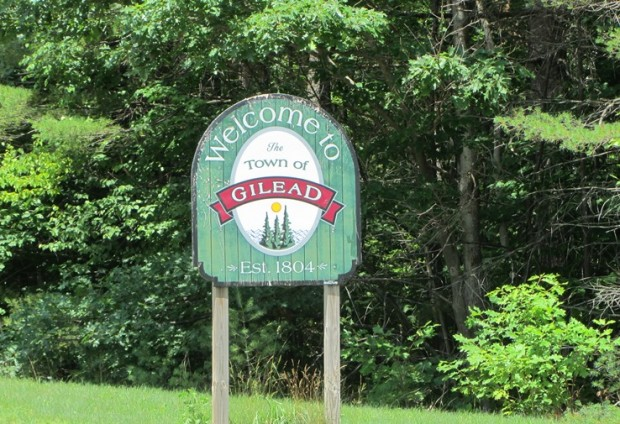
2.6 Gilead to Fryeburg
Distance: 49 miles
Time: 1 hour 3 minutes
Start: Gilead
End: Fryeburg
Starting close to the Maine-New Hampshire border, you will coast around the eastern region of the White Mountain National Forest. After traveling eastward along U.S. Route 2, you will turn southward after clearing Bethel while staying close to the White Mountain National Forest.
Further along, you will transition from Route 35 to Route 5 which will direct you away from the wilderness. However, you will have the chance to check out Heald and Bradley Ponds Reserve, Kezar Lake Buck Island, Heald Pond Trailhead, and Sabattus Mountain Trail.
Approaching the final leg of the route, you will come close to Kezar Pond and Saco River before you cross over briefly into New Hampshire. As you cross back into Maine, you will come across Westons Beach before finally arriving in Fryeburg.
2.7 Lincolnville to Thomaston

Distance: 29 miles
Time: 44 minutes
Start: Lincolnville
End: Thomaston
Departing westward via Route 173, you will pass through the northern region of Camden Hills State Park. Upon meeting the intersection with Route 235, you will turn southwest which will take you close to Norton Pond, Megunticook Lake, and Fernald’s Neck Preserve.
Straightening out slightly towards the west, you will be within the vicinity of Hatchet Mountain Preserve, Hobbs Pond, and Alford Lake. You will then turn abruptly southward which will take you in between Crawford Pond and Meadow Mountain Preserve.
Transitioning onto Route 131, you will continue to head southward on the more laidback section of this route until you finally make it to Thomaston. While you are in Thomaston, you can check out the exhibits on display at Knox Museum - Montpelier.
2.8 Perry to Prospect Harbor Lighthouse

Distance: 150 miles
Time: 3 hours 31 minutes
Start: Perry
End: Prospect Harbor Lighthouse
Throughout this route, you will ride close to the coast of the Gulf of Maine. Departing southward, you will swerve along U.S. Route 1 which will take you close to Sipp Bay Preserve, Moosehorn National Refuge - Ox Cove, and Cobscook Bay State Park.
Transitioning onto Route 191, you will begin to head southwest which will take you beside Cutler Coast Public Reserved Land. Further along, if you choose to stop in Jonestown, you should be able to make out the Great Wass Island Preserve just off the mainland.
While you are riding westward along Route 182, you will get a good glimpse of Spring River Lake, Tunk Lake, Long Pond, George Pond, and the Mt. Desert Narrows. Turning southward, you will have to clear the bend at the Schoodic Peninsula before you arrive at the foot of Prospect Harbor Lighthouse. You will get the opportunity to admire Winter Harbor Light and Schoodic Point before you make it to your final destination.
2.9 Rangeley Lakes Scenic Byway

Distance: 89 miles
Time: 1 hour 54 minutes
Start: Dixfield
End: Rumford
Embarking northward via Route 142, the highlights that you should keep an eye out for include Webb Lake and Mt. Blue State Park. When you arrive at the intersection with Route 4, you will turn northwest which will swerve close to Rangeley Lake.
While you are in Rangeley, you will get the chance to admire the natural beauty on display at the Maine Forestry Museum. Turning westward via Route 16, you will be within the vicinity of Dodge Pond and Wilhelm Reich Museum.
Heading southward via Route 17, you will clear the western coast of Rangeley Lake. Further down, you will be within the vicinity of Rangeley Lake State Park, South Bog Conservation Area, Shelton Noyes Overlook, and the Height of Land. Shortly afterward, you will arrive in Rumford.
2.10 Northern Route 201

Distance: 49 miles
Time: 55 minutes
Start: Bingham
End: Jackman
Departing northwest along U.S. Route 201, you will travel the length of Wyman Lake plus ride parallel to Kennebec River up until you reach the Forks. Along the way, you may come across a section of the Appalachian Trail that runs through Maine.
Continuing towards the northwest via Route 201, you can grab a quick bite to eat at Rachel’s Restaurant & Pizzeria. If you take a slight detour westward around the halfway point of this route, you will be able to explore Enchanted Mountain and Coburn Mountain.
Staying on the course, you will be close to Parlin Pond and Wood Pond before you finally arrive in Jackman.
2.11 Rockland - Owls Head - Port Clyde

Distance: 24 miles
Time: 40 minutes
Start: Rockland
End: Port Clyde
As you start in Rockland, you will be able to check out the exhibits at either Maine Lighthouse Museum or the Coastal Children’s Museum. You may also fill up on lunch at either Trackside Station or Archer’s on the Pier. Looping around Shore Road, you will have the chance to admire Owl Head State Park and Owl Head Lighthouse.
After you finish riding around the bend, you will turn westward where you will encounter Crescent Beach, Owls Head Transportation Museum, Ash Point Preserve, and Birch Point Beach State Park.
Turning southwest via Route 131, you will be able to stretch your legs if you decide to head up St. Georgetown Forest Trailhead and Fort Point Trailhead. You can also grab a quick bite to eat at either the Craignair Inn by the Sea, the Happy Clam, or Ancho Honey.
As you draw closer to Port Clyde, you will be able to check out Drift Inn Beach and Marshall Point Lighthouse.
2.12 The Dover, NH to Portland, ME

Distance: 151 miles
Time: 3 hours 43 minutes
Start: Dover, NH
End: Dover, NH
Heading northeast via Route 4, you will cross back over into Maine. Shortly after you pass the New Hampshire-Maine border, you will encounter Hamilton House and Vaughan Woods State Park. Further along, you will travel on Interstate 95 which will take you beside Rachel Carson National Wildlife Refuge, Brick Store Museum, and Rotary Park before you arrive in Portland.
Departing northwest via U.S. Route 302, you may come across Mill Brook Preserve Trailhead, Pride Preserve, Tassel Top Park, Jordan Bay, Sebago Lake, and Brandy Pond on your way to the northern bend.
Turning back southwest via Route 11, you will pass by Trickey Pond, Tiger Hill Community Forest, and Steep Falls Wildlife Management Area. Continuing to wind your way along U.S. Route 202 and Route 108, you will eventually cross over the New Hampshire-Maine border again until you are back in Dover.
3. Motorcycle Laws in Maine
3.1 Maine Motorcycle Helmet Laws
In the interest of lowering the number of motorcycle fatalities in Maine, riders under 18 years old have to put on either a three-quarter or full-face motorcycle helmet .
If you are a legal adult traveling alone, you can forgo a motorcycle helmet when cruising. Just make sure you are ready to deal with the consequences should you crash without a motorcycle helmet.
3.2 Maine Motorcycle Passenger Laws
If you decide to share your Maine motorcycle trip with a friend or family member, there is no minimum age requirement stopping you from taking him/her. Your passenger will have to don protective headgear if s/he is under 18 years old.
You have two options for a passenger seat: a saddle with handholds and footrests or a sidecar.
3.3 Maine Motorcycle Equipment Requirements
Because it is difficult and time-consuming to fix any mechanical issues if you are stranded on a Maine highway, you should check your motorcycle before the start of your trip.
Aside from the parts necessary for your motorcycle to function, you should circle about to see if the parts responsible for steering, braking, and signaling work when you apply the specific button, handle, etc.
3.4 Maine Lane Splitting Laws
Maine does not allow lane splitting due to the likelihood of being crushed between or colliding against the sides of other vehicles.
If you feel that you need to know more about Maine’s motorcycle laws, you can get the information at the link here.
4. Parting Words
A trip through Maine can be an efficient use of vacation time or involve stumbling between places depending on how thoroughly you decide the intended path your motorcycle will follow. Spreading a map and picking points to visit is an organized approach while taking the routes that interest you without knowing where they lead can be more exciting. How you go about planning your Maine motorcycle trip is entirely up to you.
Popular Collections


Leave a comment
All comments are moderated before being published.
This site is protected by hCaptcha and the hCaptcha Privacy Policy and Terms of Service apply.